 [o
m]
[o
m]
Enroute we took the same trains as the first time, but this time we were smart enough enough to fork over the 99FRF (or whatever it is) for spots in a couchette, which enabled us to actually sleep something like 6.5 hours on the way down there, which is infinitely better than tossing and turning restlessly in an uncomfortable seat and trying to block out the people around you.
30/06/2000 -
On arrival to Chamonix around 0945 we headed over to the Gite de
Vagabond, where we ate a yummy breakfast of Müesli and flavored
yogurt outside under the view of the mountains, and then prepared our
packs for the day. I don't remember leaving much behind except for
perhaps the food we weren't eating that day and some toiletries.
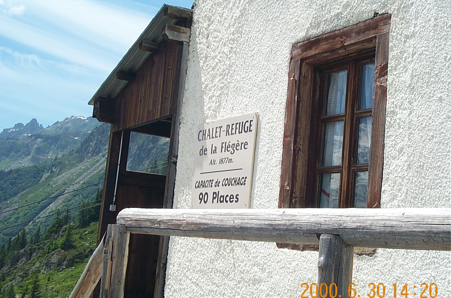
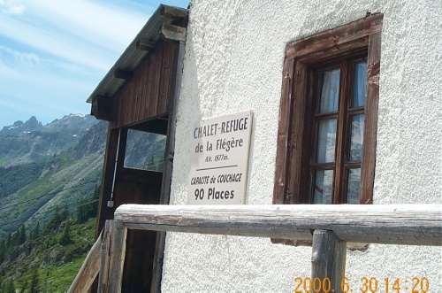
At around 1130 we left downtown Chamonix, after a quick visit to the Office de Haut Montagne to verify that trail conditions were good. By 1200 we were at the trailhead near Le Praz, and then after a good bit of uphill we made it to La Flégère. Lunch consisted of imported peanut butter and jelly sandwiches and some fruit. (I mention the origin of the peanut butter simply because that's the only way you can find it here, and it costs around US$2 for a little jar).
By 1500 we had left La Flégère and were on our way up to Lac Blanc. The first little bit of the hike after La Flégère consists of either going really off-route and downhill a long ways or crossing a scree field. On the way up we took the more direct crossing of the rocks, but in the evening we opted for the longer way, as it was a little more direct at that point and would pose much less of a risk for something silly like a sprained ankle.
At 1645 we arrived at Lac Blanc, 2360m AMSL. Thus, we'd covered 1310m from the valley floor (1050m AMSL) in about 4h45 total time, perhaps 3h30 if you don't count the snack/water breaks and lunch. That comes out to about 6.2m/minute of elevation gain.
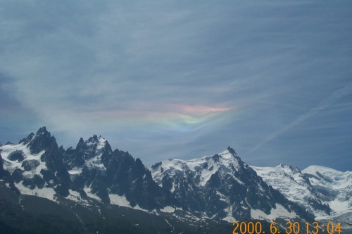
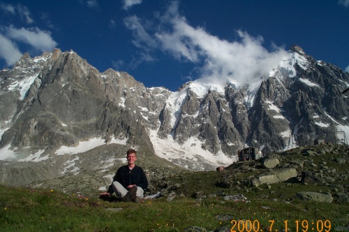
This was taken about 1300 on the first day of hiking. The rainbow was
something I couldn't really capture well with my limited photographic
experience, but I thought I'd snap a photo or two anyways. It was much
more impressive in real life.
 [o
m]
[o
m]
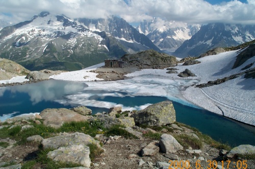
This is a picture of Lac Blanc -- as you can see, things haven't quite
finished melting yet up here. We had to hike across a little bit of
snow, but it wasn't anything terribly bad. The view from up here was
beautiful, and things were quite tranquil.
 [o
m]
[o
m]
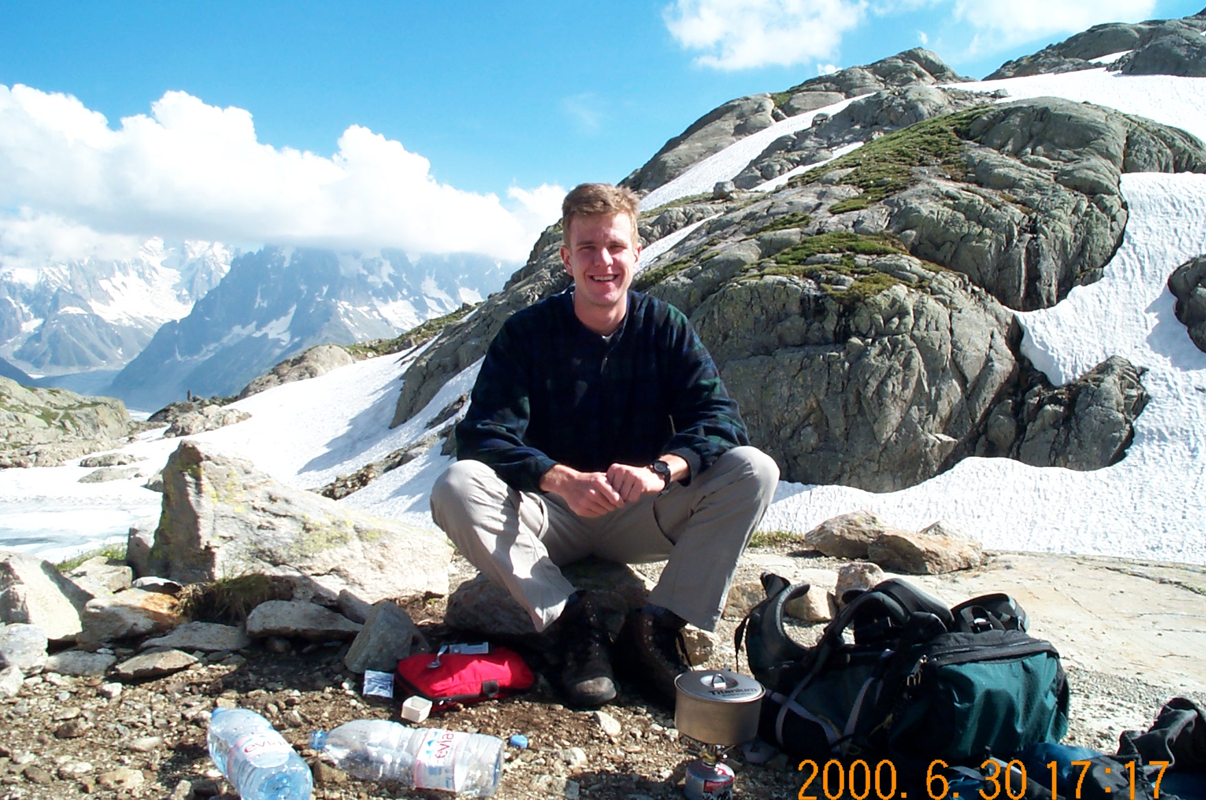
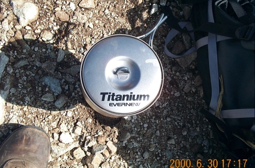
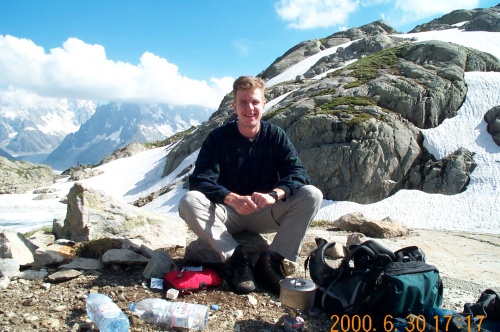
This is a shot of me in front of the cooking wares. Dinner for that
night was ramen noodles; prepared on Charlie's tiny stove and amazing
titanium cook pot. I figured a cook pot made of titanium was
pretty silly, but it was actually a fairly practical design and decent
use of the material. I'll stick to my stainless steel, but this thing
was really light.
 [o
m]
[o
m]
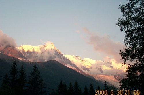
At around 1820 we left Lac Blanc and started the hike down. Normally 1820 sounds like a really late time to begin a long hike, but it doesn't really get dark until 10pm or so. We got to La Flégère by 1935 and then down to La Praz by 2110.
This is the sunset at 2109, taken from La Praz at the valley floor.
 [o
m]
[o
m]
On Saturday we got up around 9am, after a good long night's sleep. The third person in our room at the Gite was a British guy from around London named Antony. During the week he's an escalation engineer for Windows NT with Microsoft UK, but for 10 days he was in Chamonix to make an attempt on Mont Blanc with some friends of his from Denmark.
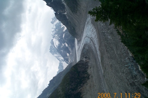
Behind the Gare SNCF we caught a private train for 79FRF up to the Mere de Glas, or "Sea of Ice." The train had an electrically powered rack and pinion propulsion, and was in general a neat feat of engineering. The noise level in the train on the ascent was pretty high, but it got us there. We first went to the Grotte in the Mer de Glas, which is this really neat cave they carve into the ice every year. It's interesting because you can see the holes from previous caves "downstream" on the glacier -- really only a few meters away, so there's something like three or four of them visible.
The Mere de Glas. Don't let the dirty color deceive you -- there's
really lots of ice flowing under that. Where I stood it was something
like 7m thick, but I think I remember that it's 30m thick in some
places. It flows fast enough that the entrance to the Grotte is on a
bridge similar to those seen in marinas where you have to deal with
shifting water levels.
 [o
m]
[o
m]
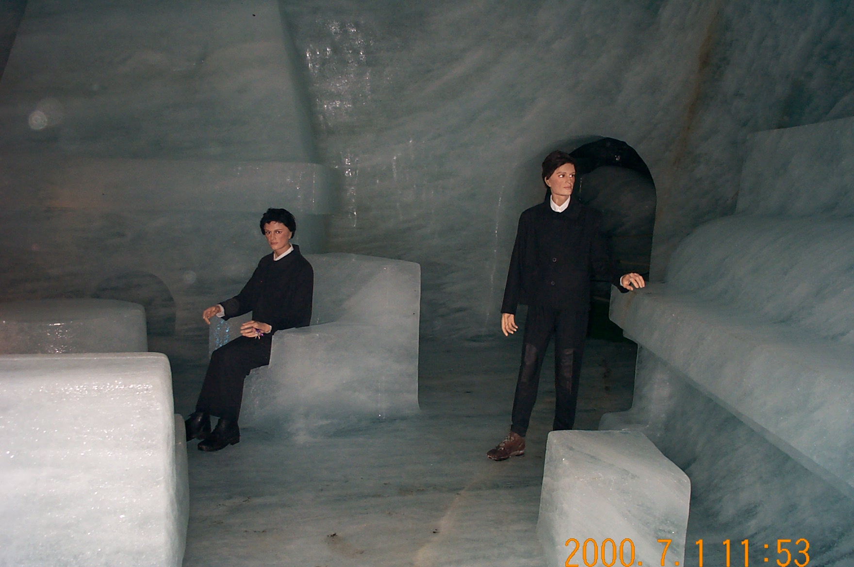
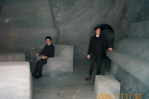
These are some of the mannequins inside the Grotte. The sculptures
inside were somewhat interesting; the temperature inside was pretty
darn cold.
 [o
m]
[o
m]
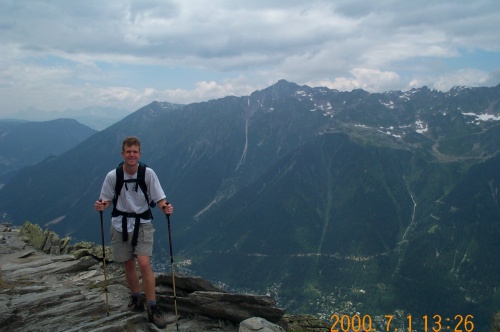
After visiting the Grotte, we noticed that the weather was looking a little threatening, so Charlie and I figured that we should start out soon, as we had a bit of a hike ahead of us before we reached the hut we were planning on sleeping at. The hike across from the Mer de Glas to Plan de l'Aiguille was of moderate difficulty; even though it was along a balcon most of the way we had quite a few ups and downs (with a fair amount of overall elevation gain).
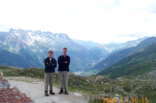
This is me, somewhere between the Mer de Glas and Plan de l'Aiguille.
 [o
m]
[o
m]
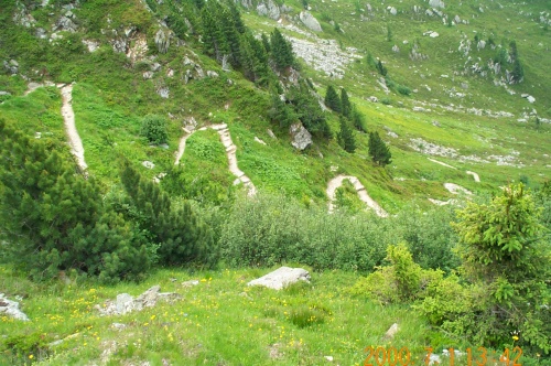
These were some nice switchbacks that we had to go down on our way
over; a careful inspection of the pictures in the raw directory would
find some other shots of this area showing one of the vageries of
tourism.
 [o
m]
[o
m]
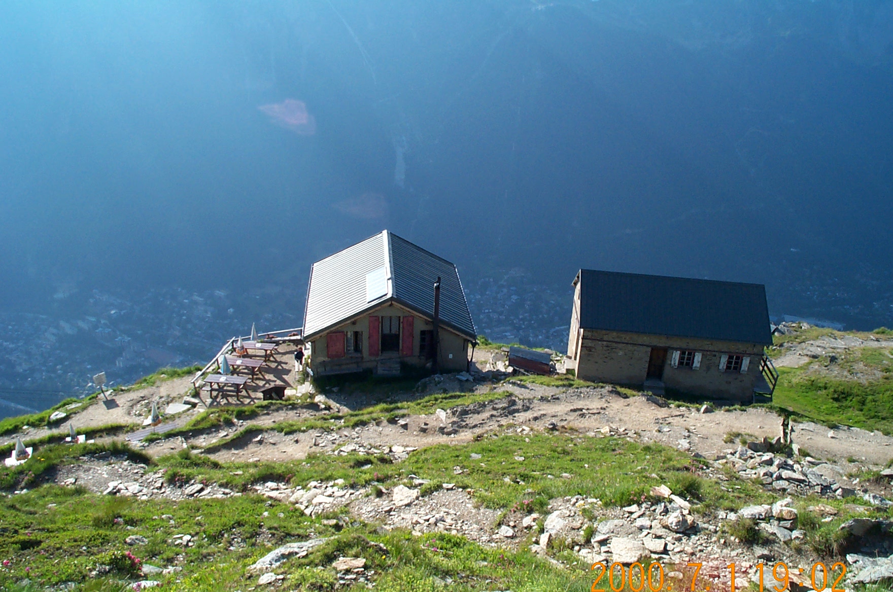
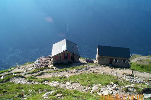
This is the hut at Plan du Aiguille where we stayed. The place sleeps
70, although it looked to us like that's a rather generous estimate of
the capacity. In any case, we were the only ones staying there that
night, as the big climbing season hadn't really started yet. The staff
consisted of two folks; a late-20's guy and a girl about our age. Both
were very nice. It amused me that the hut ran all communications with
a two GSM cell phones and a Kenwood 2 meter ham radio, modified to
transmit in business band at 152.xxx mhz.
 [o
m]
[o
m]
Charlie and I went down the path a little, underneath the cable car. Here we ate lunch (again, PB&J and snacks) and then headed uphill toward the telegraphiqué stop.
This is a shot of us, taken from the cable car stop. We're about 100m
vertically above the hut at this point.
 [o
m]
[o
m]
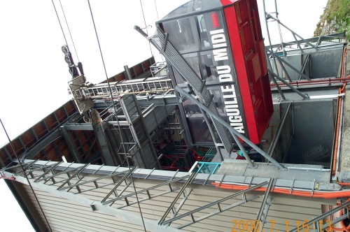
This is a view of Aiguille du Midi from the middle cable car stop. If
you look carefully, you'll see the giant metal structure on the
highest point visible; you can also somewhat see the cables running up
the mountain.
 [o
m]
[o
m]
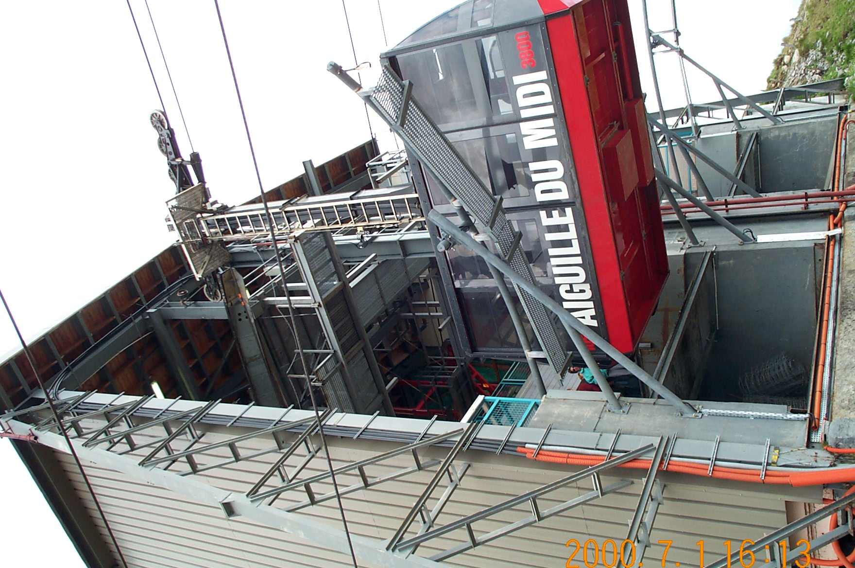
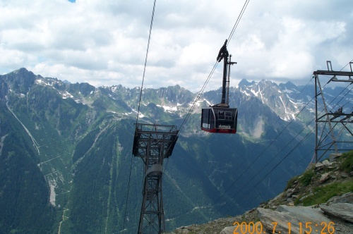
This is a shot of the lower portion of the cable car. The cars ascend
and descend at a rate of 7 vertical meters per second.
 [o
m]
[o
m]
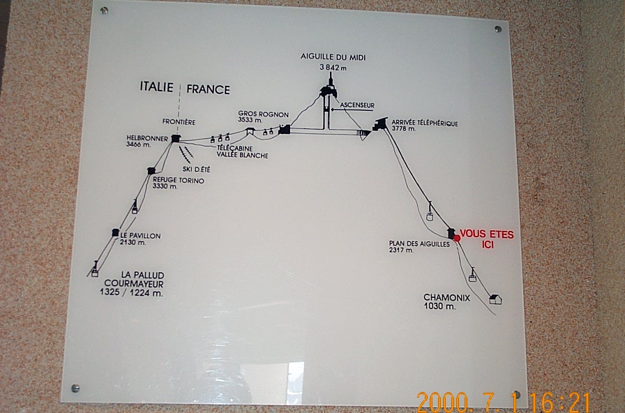
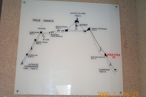
Here we have a cross-section of the cable car routes on this
mountain.
 [o
m]
[o
m]
A look up the mountains.
 [o
m]
[o
m]
The cable car, as it docks into the lower portion of the transfer station.
 [o
m]
[o
m]
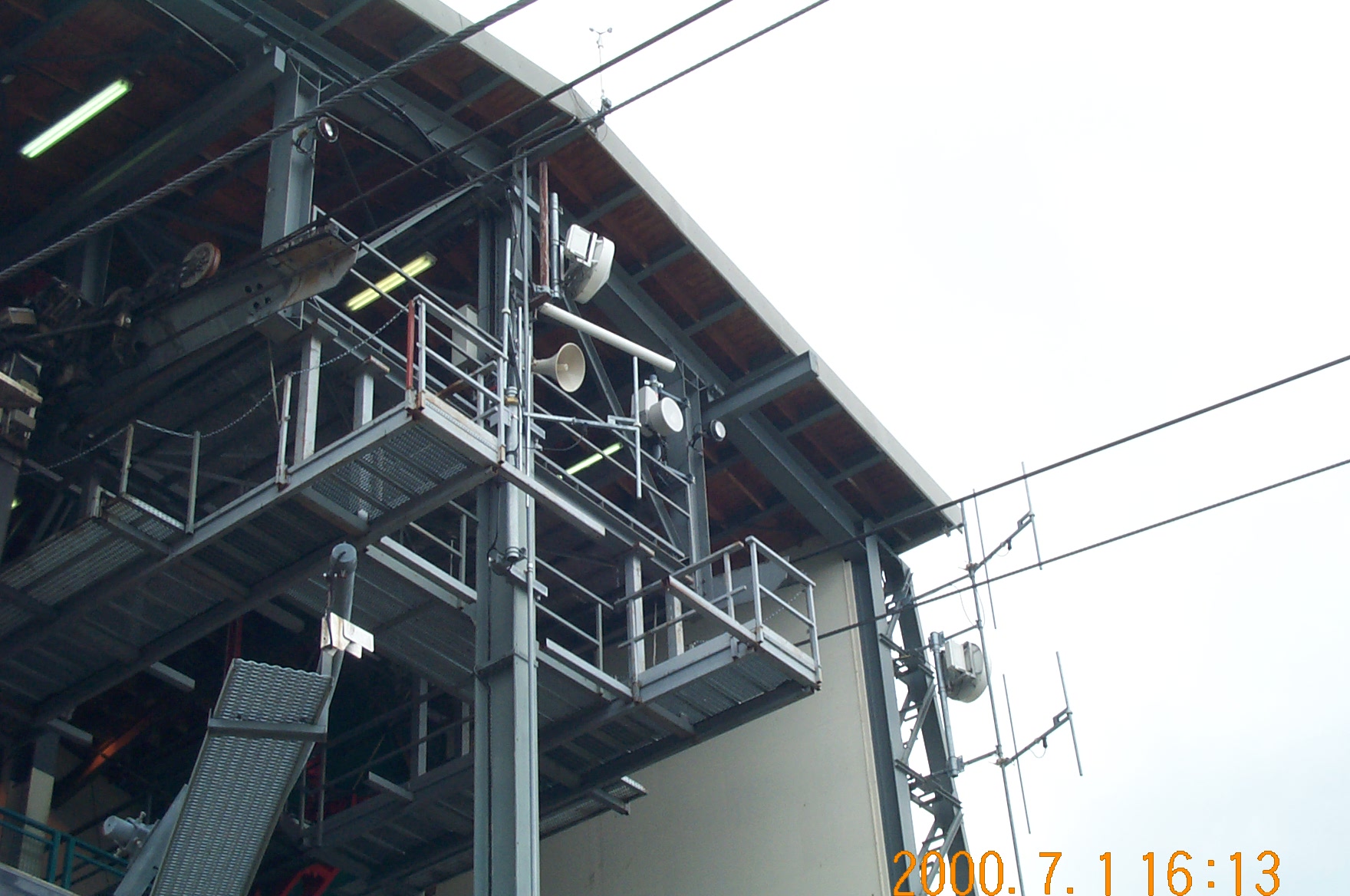
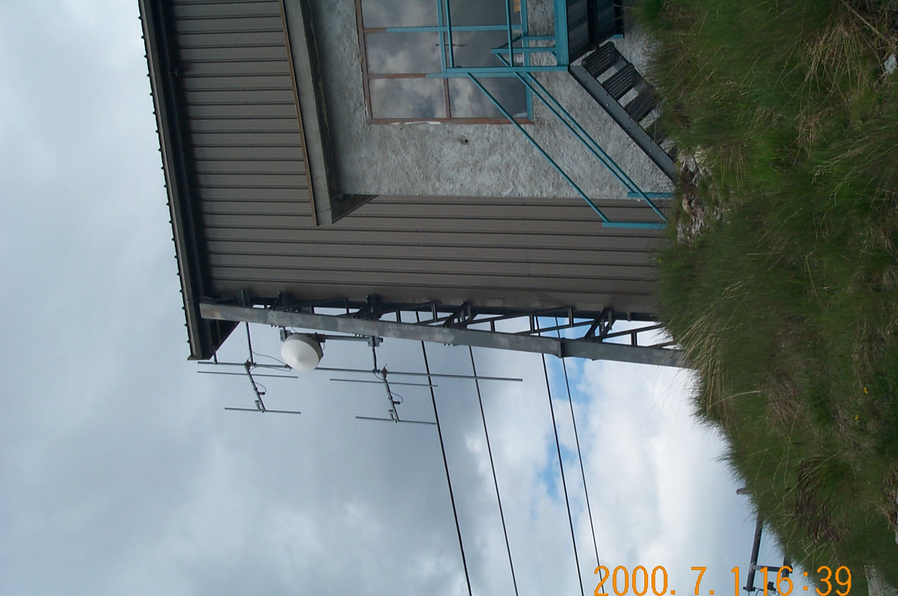
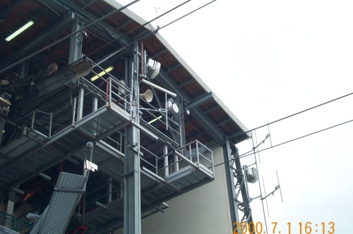
Random antennae and such visible from the cable car station.
 [o
m]
[o
m]
At the cable car stop we found out when the first car runs (weather permitting), so we'll use that to get down to our relatively early train, rather than the three hour hike. We also bought a 15FRF bottle of water and a 30FRF pin for Msr. Hanet, the GTL building gardien who collects hat pins.
After coming down, Charlie took a nap, first on an uneven bench outside and then later on the bed. I read my Neal Stephenson book and enjoyed the view and weather. The last cable car down in the evening is at 1800, and it amused me that at about 1810 an American couple walked by on their way up the hill, with nothing more than trekking poles and some water. They didn't even have good jackets.
After the shade came over my spot I moved to the deck outside the hut and was soon joined by the girl. She turned out to be a new employee of the hut, brought on in time for the summer rush. This was her first day on the job, and she was keeping in touch with home through SMS messages on her cell phone. Sure enough, the American couple came by about 30 minutes later, hoping to find some water. The girl happily sold it to them, and they sent them on their way down the hill toward the town.
The man running the hut didn't speak very good English, but I managed to ask him how long of a hike it was to get down, using the trails that the couple was taking. He estimated 3 hours, but after watching them for a minute or so, "But much more for them."
There were several birds flying aroud the area. It really amazed me how loud they were when they flew by; most of them were riding the updrafts coming from the wind hitting the mountainside. It was amusing to see them determine just where the updraft started, as they'd get thrown up some as soon as they hit the pocket of fast moving air. There was also a single engine plane going along beside the steep cliff faces higher up on the mountains; it's difficult to estimate how close he was, but it looked awefully close to me.
After cooking a good dinner of Uncle Ben's Rice (yes, you can buy that at Cora too), I noticed an object in the sky that wasn't acting like a bird or a plane. After a few minutes the wind blew it down the valley into closer view, and it turned out to be a large bundle of balloons that was losing altitude. Charlie and I watched it until it crashed into some trees several kilometers downwind and on the same side of the valley as us. As a matter of exercise, we walked down the trail enough to get a good view and took several bearings on landmarks and on the balloons. We then took the map and triangulated our position and the position of the balloons. After that we retired, having had a long enough day already.
At around 0400 we woke up (to our alarms) to see about going and retrieving the balloons. However, the weather was pretty interesting. Although most of the heavy cloudcover was gone, the sky was a patchwork of flying clouds. The wind had laid most of the grass outside our window flat and was knocking the shutters back and forth. Our best guess was that the gusts were around 40mph. In any case, it was enough for the telegraphié to be closed until 9am (where the normal opening time is 7am).
The ride down was uneventful, although amusing in that all of the 72 passenger cable cars were full going up, while it was just Charlie, myself, and the operator going down. The operator said that the cable car system was constructed in 1955 or so. Down at the bottom in town we were almost trampled by a mob of Japanese tourists trying to get onto the car; the operator had to help us get out.
The train back to Metz wasn't eventful, except for the part from Lyon Part-Dieu to Metz, which was the hottest I've ever been on a train in my life. The real problem was a complete lack of ventilation or air conditioning, although the vinyl seats didn't help. France won the EURO2000, which was made obvious by the horns going off in town. Our bus driver even joined in for a large part of the ride.
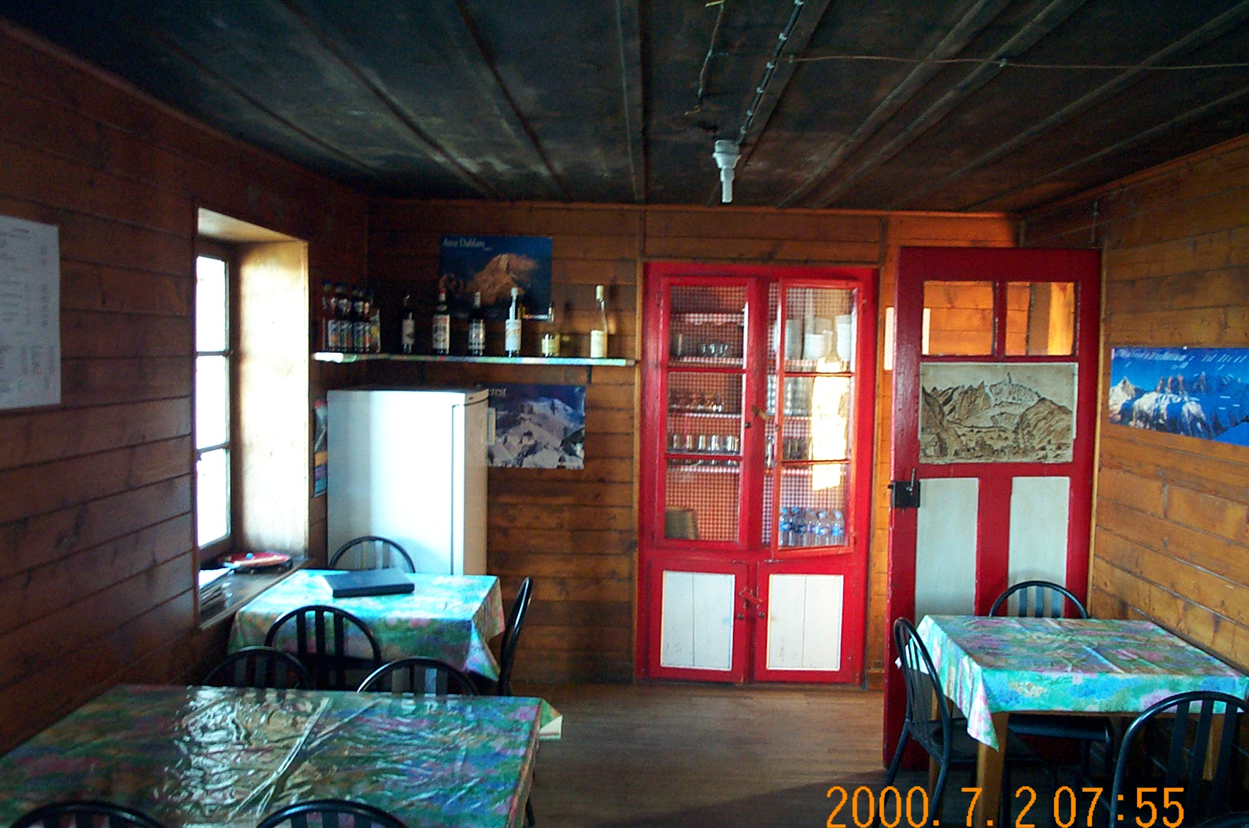
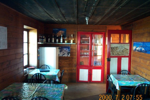
The dining room where we had breakfast in the hut.
 [o
m]
[o
m]
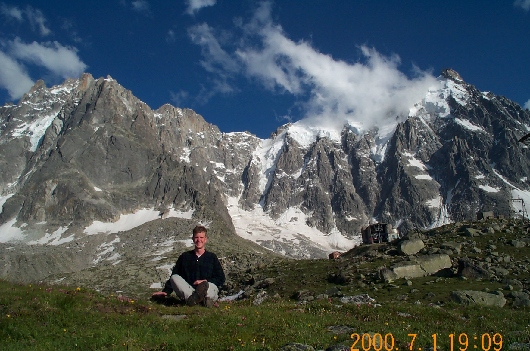
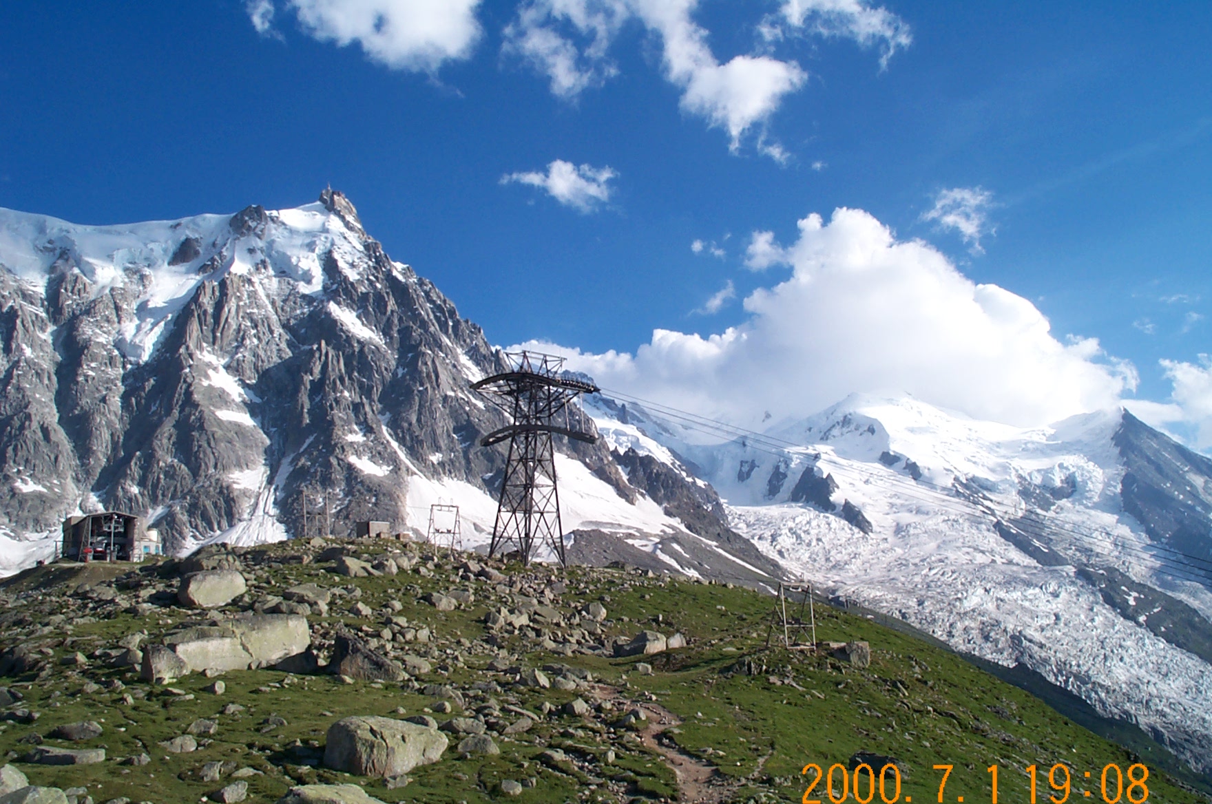
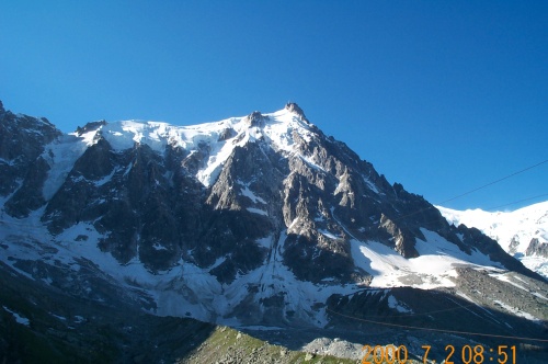
A view toward Mont Blanc from the hut.
 [o
m]
[o
m]
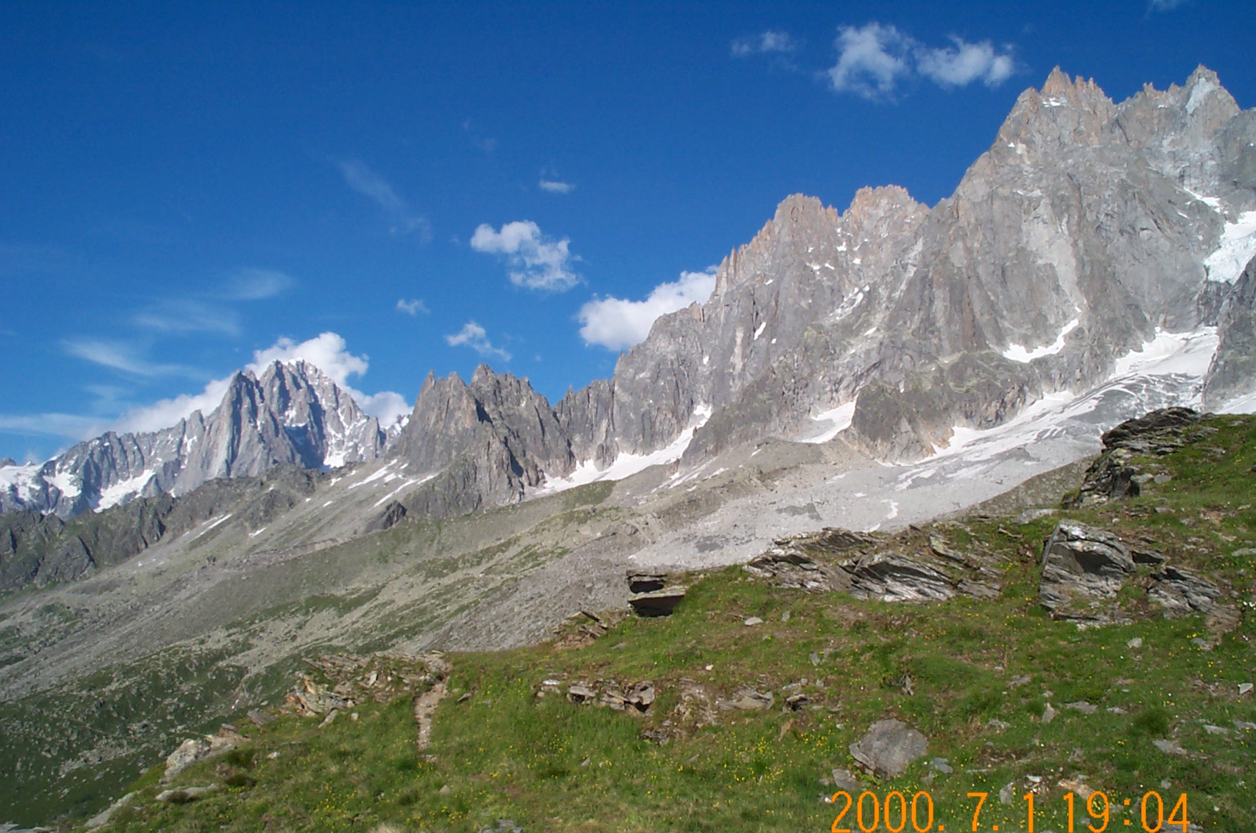
The mountains; Mont Blanc is about 90 degrees to the right.
 [o
m]
[o
m]
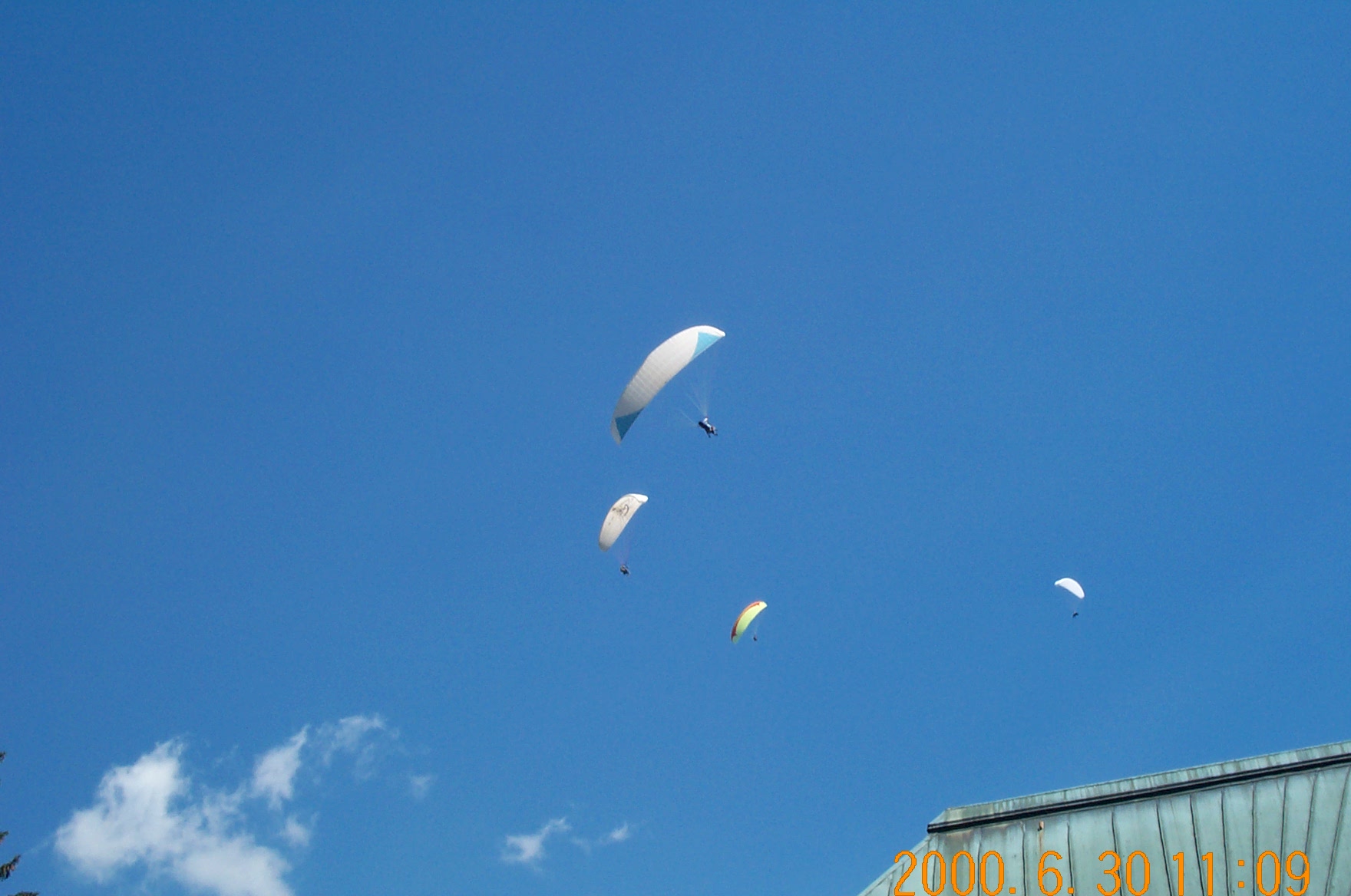
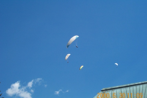
Some random parasailers.
 [o
m]
[o
m]
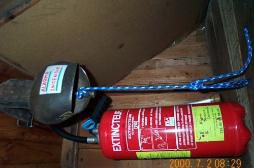
The fire alarm facilities in our sleeping quarters. Probably 20 times
more effective than the alarms that get pulled once every month in the
dorms at Tech.
 [o
m]
[o
m]
| day | distance | vertical elevation gain |
|---|---|---|
| Friday | 21 km. | 4460 feet |
| Saturday | 8 km. | 2400 feet |
| total | 29 km. | 6800 feet |