Brian Danos, Anuj Girdhar, Jason Boltz, Brandon, and myself went backpacking over Georgia Tech's fall break to get away from things for a while.
We weren't really sure where we were going until we got on the road, but the general decision was to head toward the Jack's River area in the Cohutta Wilderness area. The Cohutta Wilderness area is composed of 35,268 acres in Georgia and about 1700 in Tennessee. Our guide book was Tim Homan's The Hiking Trails of North Georgia, 3rd ed, which I picked up at Craig's party on Friday night. ISBN 1-56145-127-4.
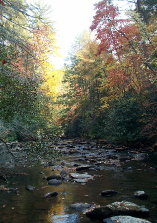
Pictures from this trip are online.
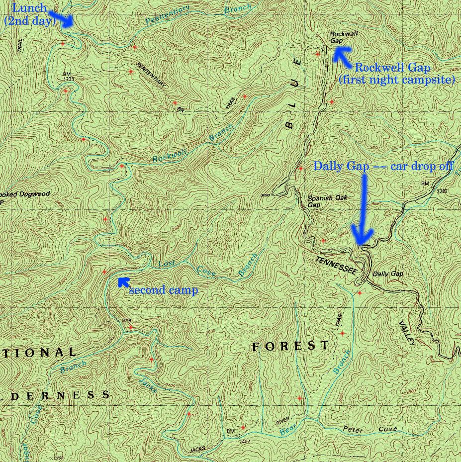
Our route took us from Dally Gap along Hemp Top Trail to Penitentiary Branch Trail, which we took down to the Jacks River Trail. We followed the Jacks River Trail back around in a loop to the cars at Dally Gap. The first evening was mostly spent going up away from the parking spot to a camping place near the intersection of Hemp Top Trail and Penitentiary Branch trail. Hemp Top Trail runs along a ridge, so the view in the morning was quite beautiful.
History (from Tim Homan's book). The Jacks River trail partially follows the old logging railroad used in the 1930's to carry timber out of the woods. The only evidence we saw of this activity were several pieces of steel cable and piled rocks left over from bridges and a few straight sections of trail that were once railbed.